Why it exists
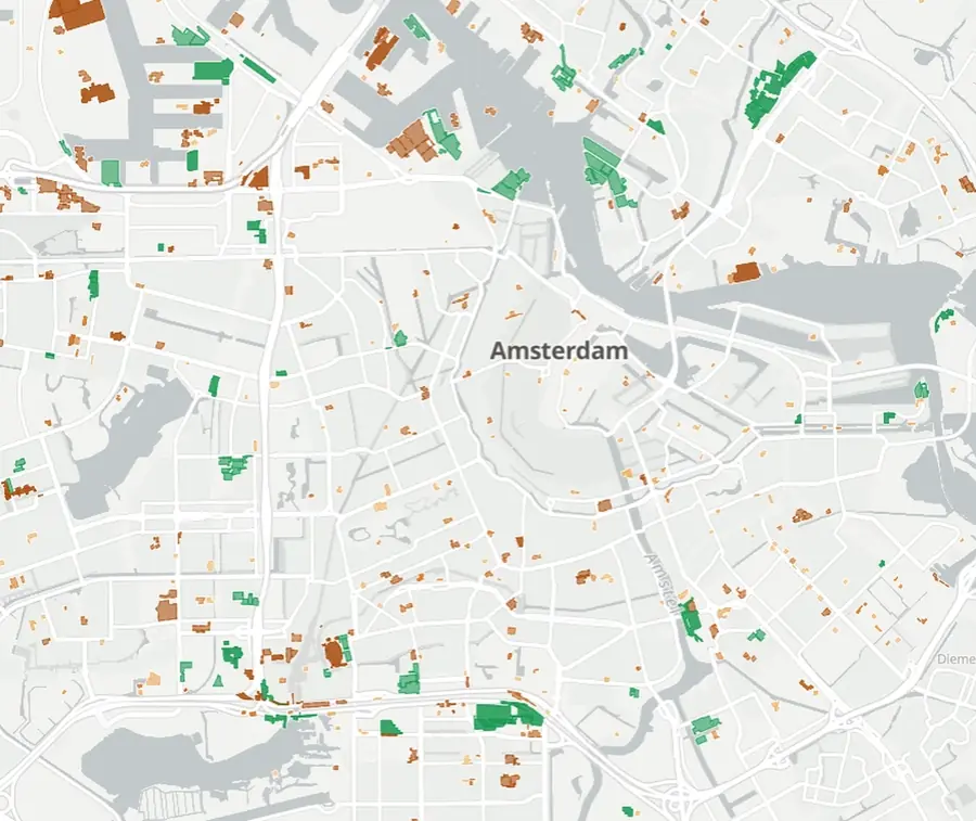
The data you would want does not exist. So we measure it.
Construction drives demand for materials, logistics, housing and risk. Yet nobody has a current map of it.
01
Registers trail the ground
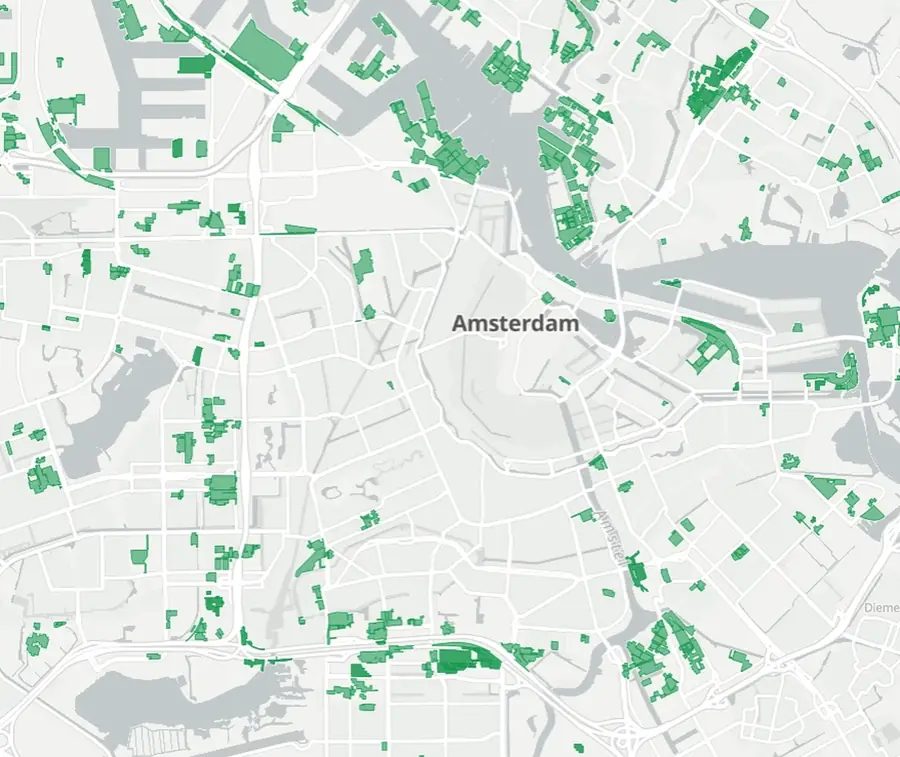
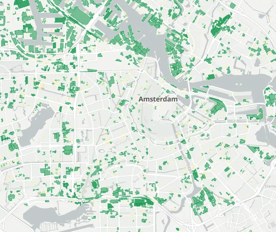
The Netherlands has some of the best building data in the world, and even here the public register trails what happens on the ground. In many places there is no usable register at all.
02
Bought imagery is priced for single sites
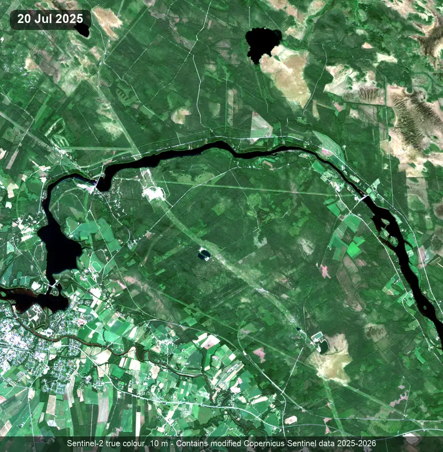
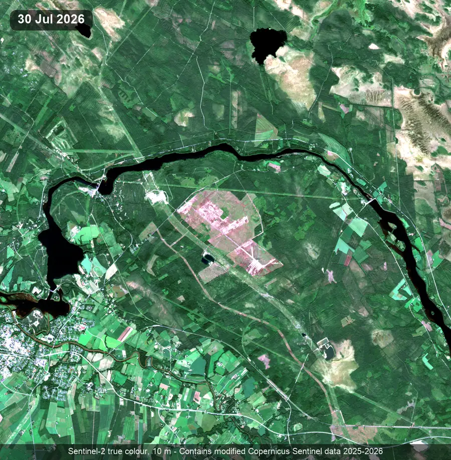
Commercial high-resolution imagery finds construction well, but the data and the compute on top are priced per site. At city scale, month after month, back to 2018, nobody pays those bills.
03
Smarter methods, open data
We make the Copernicus Sentinel archive, monthly since 2018 and planet-wide, deliver what bought imagery would. Optical and radar satellite data, register labels, deep learning and human audits. What you pay for is the monitoring, not the pixels.