Spot the Site
Do you know where your city is building?
You know your own projects. Here is a quick test of how well you know everyone else's. Three rounds, about 60 seconds, then see how you compare with our construction map.
Round 1Amsterdam. Drop 5 pins.
Round 2Utrecht. Drop 5 pins.
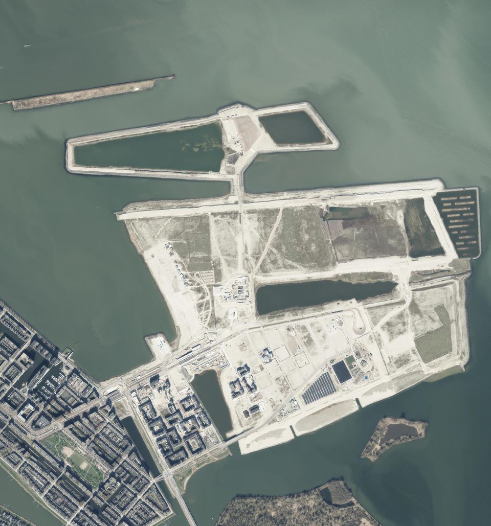
Round 3One before and after. Pick A, B or C.
No sign-up needed to play.
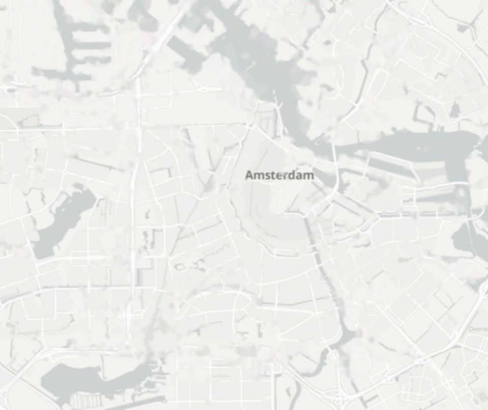 Amsterdam. Every site hidden.
Tap the map to place a pin. Tap a pin again to remove it. Keyboard: Tab to the map, arrow keys to move the cursor, Enter to drop a pin.
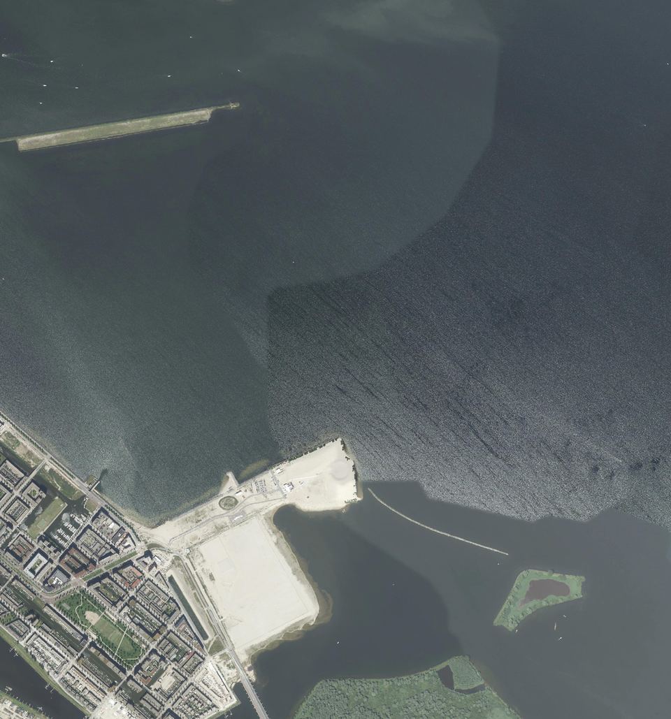
Round 3 of 3 · Amsterdam, IJburg
This was open water in 2016. What stands here in 2026?
Spot the Site · your score
0 / 1200
Amsterdam0
Utrecht0
Before and after0
Want this map for your city, every month?
The answer key is the product.
Urban Construction Monitor maps construction across whole cities, month by month since 2018. Built from satellite data, register labels, deep learning and human audits. Live today for Amsterdam, Utrecht, Den Haag and Eindhoven.
Your score stays in your browser and is not sent anywhere.